Moab, Utah
If I didn't have a problem with the politics of Utah, I might live there. Per square inch, I think it's the most interesting and beautiful state in the Union. If you have never visited Utah - especially the red desert of south eastern Utah - I strongly recommend it.
It was 1982. We were transitioning from the Post Office and post-bac work at Oregon State to grad school at UC Davis. Jamie was 14 months old, and we took the summer off.
On our drive back from Minnesota - we were there for Tracy's sister's wedding (Margy & Glen) - in our non-air-conditioned Datsun (the heat was brutal) we took a sidetrip through the red rock country of eastern Utah. We were enthralled by the unique formations in Arches National Park near Moab. But the summer heat was inhospitable during the middle of the day (119 degrees), and the 3-mile hike to the Delicate Arch (with Jamie in tow?) was simply not possible.
We'd be back, we said.
And while we've vacationed in Zion & Bryce national parks, we hadn't made it back to the Moab area. Until Tracy's spring break in 2012, 30 years later. I can't believe it took this long.
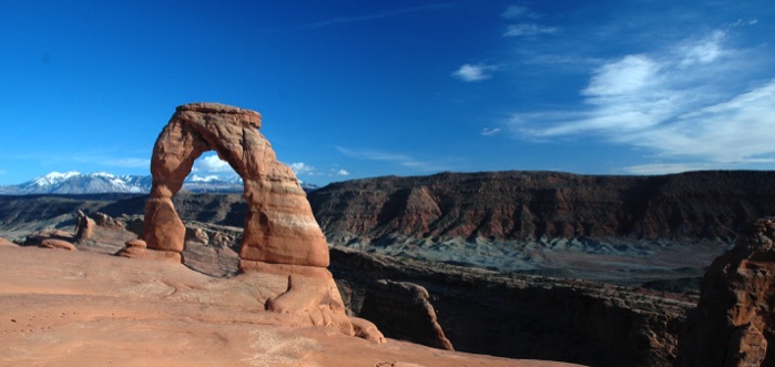
As you drive in from the West, you realize that this part of the country is unlike any other part of this country:
Delicate Arch, Arches National Park, Moab, Utah; 65 feet tall
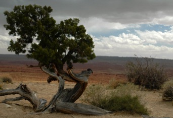
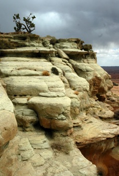
We were saving the hike to the Delicate Arch until Tuesday, so we visited other parts of Arches Nat'l Park on Monday.
First stop was Landscape Arch, which had a sizable piece break off (when hikers were beneath it!) back in 1991. When I mentioned to someone that we had last been at Arches in 1982, he said, "So you saw Landscape Arch before the break," which I had to respond, "I can't remember; it was so bloody hot that day that we might not have made it back the 1.5 miles!" A nice, easy hike back to the arch:
If you drive east on I-70/US-50, you hit the red rock country near the Green River (the main tributary of the Colorado River), which flows south from Wyoming and Colorado. It's here where you first stand in awe of the red rock country of eastern Utah.
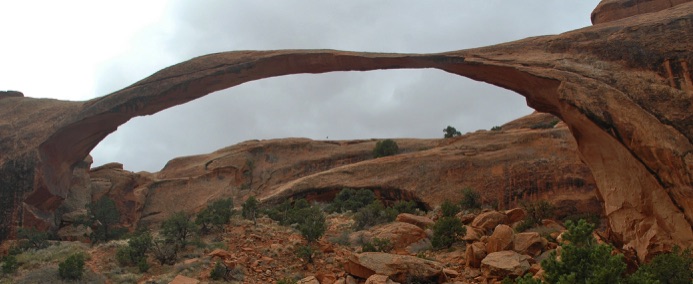
Landscape Arch is the largest span in the park, spanning 290 feet
I scrambled up further on the trail (I was somewhat limited in my mobility on this trip because of a bulging disk in my back; but a walking stick helped!), where you got different views of the surrounding landscape:
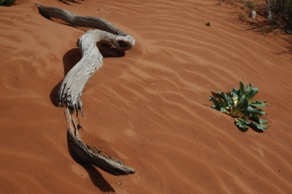
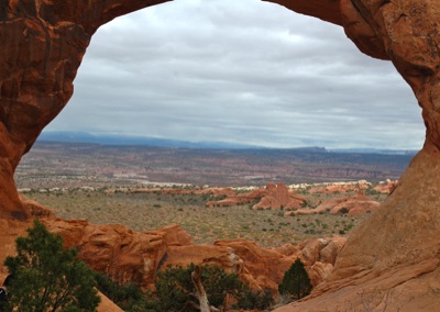
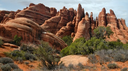
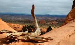
How many rolls of film would I have had to hike with to capture the beauty of this park?
Arches Nat'l Park is set up so you drive to various areas, then have relatively short hikes to the arches (Ed Abbey would not be pleased; it is in this park where he first began work for the Park Service and what inspired his iconic Desert Solitaire). That Monday was a bit on the cold side, with heavy winds. So I was glad we didn't try Delicate Arch that day. Other sights...The Windows:
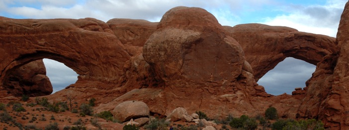
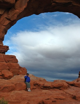
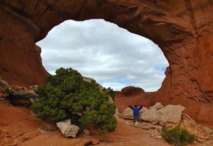
That's Tracy in "Broken Arch" and one of the "Windows"
Just before dusk, we headed over to yet another part of the park:
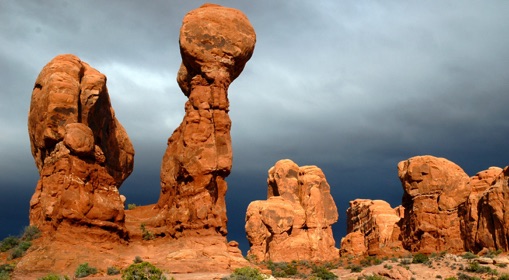
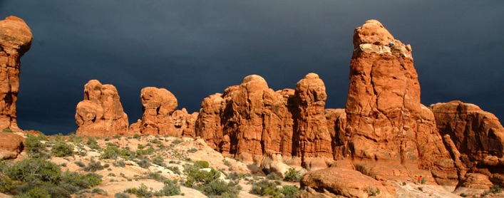
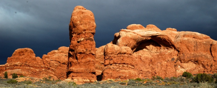
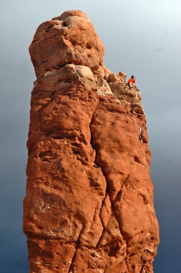
Later you'll see me in a bright orange tee shirt. Well, see that guy (in the photo below) up there on the rock in the bright orange shirt? This shouldn't come as a surprise: That's not me. But it did remind me a bit of that CitiBank commercial, which was filmed on Ancient Arts near Moab. Unfortunately, we didn't have a Katie Brown sighting either.
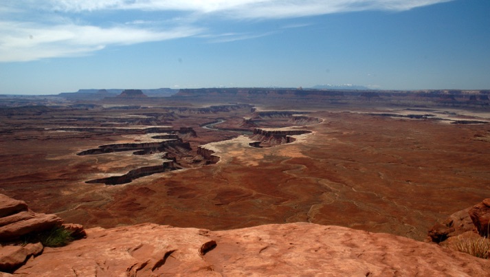
The next day we went to Canyonlands Nat'l Park, a scant 30 miles west of Arches Nat'l Park. It's amazing that they are so close, yet so different. Canyonlands is considered the step-sister of Arches, but if you're in the area, take the time to give it a day or more. Where in Arches, you are always looking up at the arches, in Canyonlands you mostly look down into the vast canyons. Spectacular. Unfortunately, we were there in the middle of the day, so the lighting was not conducive to good photography. But you'll get the idea.
The park is broken into three distinct areas (the confluence of the Green & Colorado rivers - see the exploits of John Wesley Powell - separates the areas of the park). We visited the more often viewed "Island in the Sky" region, the northestern park of the park.
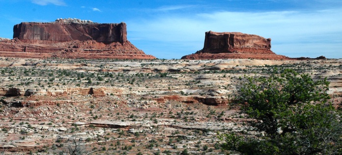
The Merrimac and Monitor mesas near the entry of the park, a nice segue from the "up" of Arches to the "down" (mostly) of Canyonlands.
Edward Abbey, a frequent visitor to the park, described Canyonlands as "the most weird, wonderful, magical place on Earth; there is nothing else like it anywhere."
And we barely scratched the surface.
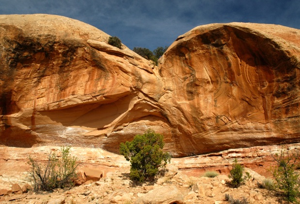
Rock formation near the viewpoint for the Monitor & Merrimac mesas
Now to the down. This is called Mesa Arch (or Sunrise Arch) and is best viewed (and photographed) in the wee hours of the morning. Maybe next time - or in our next life. It's a short half mile walk to a spectacular view of the park to the east, with the La Sal Mountains in the distance. It's easy to drive right past this without knowing such a view is just over the hill.
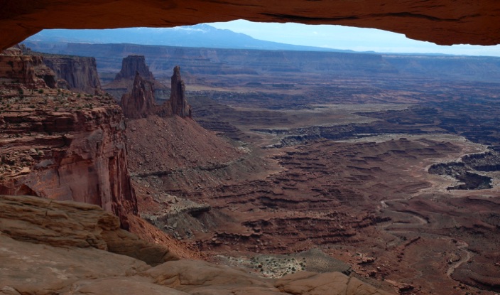
If the "Island in the Sky" is all you have time for, you won't leave disappointed; you'll only leave wanting more.
You ain't in Kansas any more...
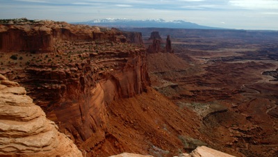
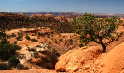
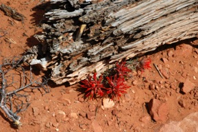
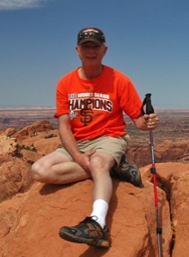
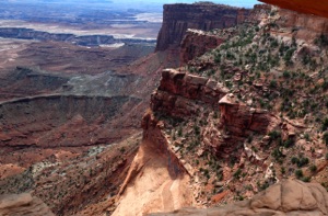
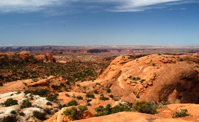
After not spending nearly enough time in Canyonlands, we drove back to Arches Nat'l Park to make the last afternoon trek back to Delicate Arch. Even though it's a 3-mile semi-strenuous roundtrip (not difficult, just a lot of uphill over rocks to get there, and when you're limping with a walking stick, it adds to the adventure). It's a very popular hike and is a MUST DO when you come here. If you are here in the heat of the summer, make this trek very early in the morning or late n the evening. Or get lucky and be here when a full moon can help guide you back to your car. Again, we were not there for the best lighting.
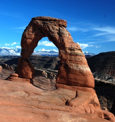
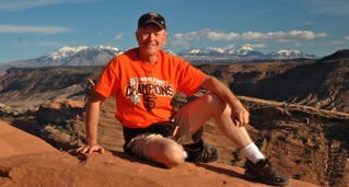
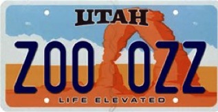
That's me, taken just to the left of the Arch. Below: You thought you recognized that Arch!
On our way back to Phoenix, we drove to see friends in Montrose, Colorado, then took the high (up to 12,000 feet) and spectacular passes through the San Juan Mountains of southwest Colorado. We were lucky not to have snow. Then we drove through (with two few stops because it was about to close for the day) Painted Desert & Petrified Forest National Park. Worth a return visit.
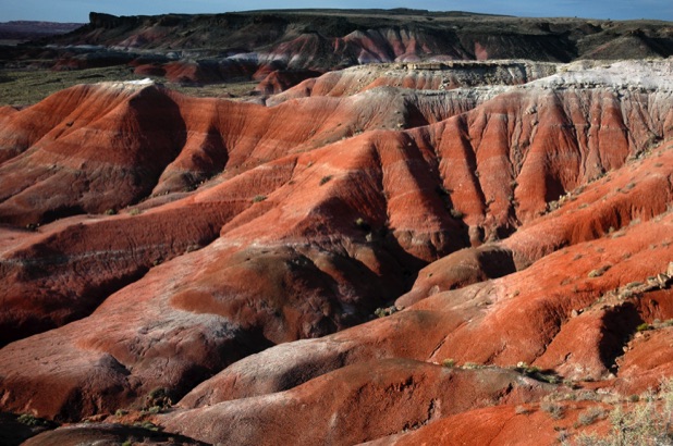
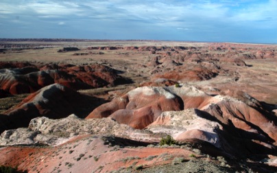
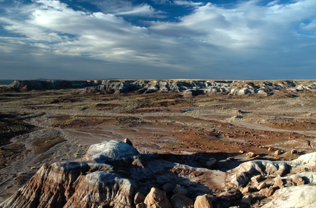
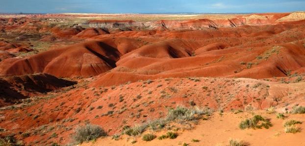
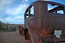
This park was extremely popular because of the location of Route 66 (LA to Chicago), which bifurcated the park (it's now mostly I-40). This old wreck paid homage to the string of travelers back in the day.
The Painted Desert got its name from Spanish explorer Francisco Vazquez de Coronado in his 1540 quest to discover the cities of gold. Protected as a National Monument by President Theodore Roosevelt in 1906; Petrified Forest was upgraded to a National Park by President John F. Kennedy in 1962.
Thanks for traveling with us!